Sunday, August 31, 2014

How to Climb Chokai-san (Yamagata Prefecture), Yu-No-Dai Course

Chokai-san (鳥海山), near the Japan Sea between Yamagata and Akita, is considered to be one of the more famous of the hyakumeizan, with numerous tours being led up the mountain during the peak season. It is also a pretty challenging hike. The shortest course, from Yuu-no-dai Trail Head (湯の台山口), is about a ten hour round trip to the summit and back. When I climbed the mountain on the last Saturday in July, the highest parking lot was nearly full by 06:00, so you might have to park down the road a ways at some secondary lots if you arrive late.

Here is the trail map you will see at the trail head, just across from the bathrooms.


The starting point for your hike is on the bottom right of the map. You will first have a gentle 25-minute hike up to the hut at Taki-no-goya (滝の小屋), and then start to follow the river upwards. After another while (it seemed less than an hour to me), the real fun begins. What fun? Well, let's just say you would be well served with a set of crampons, because you are going to spend the next 90-120 minutes climbing this. Note that this was in late July, about a month after the mountain official opened. Unfortunately, Chokai-san attracted clouds that day (everywhere else nearby was sunny), so I couldn't see much most of the time. This is apparently not uncommon for this mountain. Like always at these elevations, be prepared for bad weather.


Can you do it without crampons? Yes, some people didn't have them, and I did some of the smaller patches without putting them on. In that case, my ski pole helped a lot. However, you go a lot slower without them and your chances of slipping and sliding a ways is pretty good. In any case, after about 60 minutes or so you will finish with the two main snow fields, and then after another 45 minutes of the sloggiest slog of the whole hike, you will reach Fushiogamidake. From here, it is mostly a ridge hike to the east and not terribly difficult. After about 30 minutes or so, you will be given a choice to head up to the true summit, or the secondary peak Shichikou-san, which is only a few meters lower than the true summit. Since the latter is easy to climb and doesn't take long, there is no reason not to go unless you are really pressed for time. After bagging the smaller peak, head back down to the trail split and make your assault on Chokai-san itself. While the distance is not very great, this last little bit is a tough cookie. You'll go down, directly across another very sloped snow field, and then start climbing rocks that look like this.


Despite near-zero visibility and some ferocious winds on the ridge and peaks, there were still a couple hundred people up there on that late-July Saturday. Picking your way through these rocks takes some time, but it is not intrinsically difficult and they are generally extremely solid.

Note that there are more trails near the summit than the above map indicates. If you buy the #8 hiking map from Mapple (recommended), you can see the summit trails in more detail. In any case, after you descend from the summit, you can either head back the way you came to Fushiogamidake, or head along the snow field to Shimekake, and then back around Fushiogamidake. Obviously, the latter while take you a while longer. From the split before Shichikou-san, you're looking at a couple hours including lunch, or more like four if you take the Shimekake route. Once back a Fushiogamedake, you descend the snow fields and make your way back to the trailhead the same way you came up.

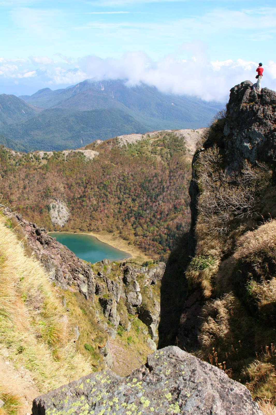
Overall, this is about a 1000m vertical hike that will take you 9-11 hours depending on what route you take. Start early, be prepared, and enjoy the snow hike. The views are probably pretty good too, but how would I know? At the base of the snow fields (~1600m), it looked something like this. I wonder what the view from the top would have been? Happy climbing!


Sunday, June 1, 2014

How to Climb Adatara-san (Fukushima Prefecture)

Adatara-san is an active volcano that last had a major eruption in 1996. The crater from that explosion provides a beautiful palette of colors and spectacular views. Combined with the relative ease of this hike for a hyakumeizan, I would rate this as a highly recommended hike.

There are several routes up the mountain, but the most common is from Adatara Kougen, where a ski resort is located. In season, there is a gondola which will take you from the bottom of the resort (950 meters) up to an elevation of 1350 meters, shaving off about an hour of climbing and half of your total ascent. Adatara Kougen is accessed using route 459 which intersects the expressway at Nihonmatsu IC. Typing "あだたらこ" into my navi brought up the right option. There is plenty of parking at Adatara Kougen. I do not believe there is public transportation that far, but a bus does seem to run to the Adatara Kougen Fukishikyu Hotel (あだたら高原富士急ホテル) marked on the map. That would add a couple extra hours of walking each way, though, so it is not really feasible. Opening day of climbing season for 2014 was May 18th. I climbed on May 31st, and there was one trivial patch of snow to traverse.


Once at Adatara Kougen, you can either take the gondola (1200 yen round trip, 950 one-way) or just hike up the ski resort. Hiking takes about an hour to reach the top of the gondola. Take any ski run you wish or just follow others. They all connect at a top, but the easily-found trail leading from the last run to the gondola station is on the top left corner of the ski run area. A map of the area is shown below. There is a trail through the forest on the right (north) side of the ski runs that I did not take, as all the other hikers were going up the runs, which I have crudely marked in green. Anyway, it is easy to figure out - just walk up the hill and aim for the top left corner, or follow that trail in the woods. Note that north is more or less right on this map.


From the area near the gondola station, the trail is easy to figure out. Just follow the signs for 安達太良山頂, or alternatively, follow the crowds as you are all going to the same place. The hike from the gondola station to the top takes about 75 minutes. 

From there, you are golden. I hope you left early, because this is a great ridge hike. First, climb up the to the very summit and bag your hyakumeizan, which is right in front of you when you get to the top.

Adatara summit

Once you have made it to the top, climb off the rock pile and start walking around Numanodaira crater, the site of the explosion. I spent about four hours doing a horseshoe around it, heading over to Tetsuyama and the shelter hut, and Funamyojin. To give you a taste of what you will see, here is one of my photos of the crater.

Numanodaira crater, with Bandai-san (another hyakumeizan) in the distance

When you are done wandering around the rim, just take the same route back down (with or without the gondola), which should take you about 1:50 without and 1:05 with a ride. Alternatively, you can hike down towards Mt Kago and then take the more northern trail back to your starting point (Okudake trailhead, 奥岳登山口) which I would guess would take about the same amount of time. Lots of people seemed to descend on that trail after having ridden up on the gondola. 

Anyway you cut it, this a great hike, with a high payoff for not so much slogging. Keep sure you have plenty of time to wander around the rim!

Happy trails!


Friday, May 2, 2014

How to Climb Nikko Shirane-san (Tochigi and Gunma Prefecture, Nikko National Park) from Yu-no-moto

This is a guide on how to climb Nikko Shirane-san from Yu-no-moto. This is essentially the same hike found in my old copy Lonely Planet's Hiking in Japan. There are several other places from which you can approach Shirane-san; however only Yu-no-moto is accessible with public transit.

To start, let me emphasize this is a serious hike with over 900m in net elevation gain and over 1200m in climbing. It took me 10.5 hours to complete it, so you must start early, and bringing a headlamp is prudent, as is buying a real map and not relying on me. The bus schedule from Tobu Nikko station is here. You really need to be on the 6:13 bus, and definitely no later than the 6:58. The 6:33 only goes to Chuzenjiko, so it is not useful for this hike. Also, note that these buses can be insanely crowded at peak season- yes, even at 6:13 am. Note that the 6:58 bus (but not the 6:13 bus) originates from JR Nikko a few minutes prior to arriving at Nikko Tobu. It's actually better to board at JR Nikko if you can because the bus will be less crowded, which can be a problem in the peak season. It takes about 1:15 hours to reach Yu-no-moto, so a 6:13 departure gets you to the trailhead before 8am and back down at 6:30pm. Obviously, the season you can do this is pretty short - late June through August maybe. September would be dark on the way down. Note that the mountain is unclimbable without equipment until late June due to snow.

I have included an annotated map below. The original (Japanese only) is here. I have also made a Google map with the trailheads marked and the course outlined. Note that the easiest ways to climb Shirane-san are not from Yu-no-moto, but the alternative trailheads I marked. These require a car. One route lies along the red trail that follows the Gunma/Tochigi border. According to my guidemaps, this appears to be a 7-8 hour hike rather than the 10-11 hours required to hike from Yu-no-moto. Shirane-san can also be approached from the west, where the Nikko Shirane Ropeway will do much of the work for you, cutting the trip down to 5-6 hours. Obviously, this is the most common route up the mountain.


To climb Shirane-san, you first enter the ski area and climb up the trail running through the middle of it. At the top of the ski area, you will descend into the forest on the right, and then generally bear left as you climb up to Sotoyama. This is the first of two major slogs. From there, the walk to Maeshirane-san is pleasant, with great views, most notably of Shirane-san itself and Goshiki-numa.

Shirane-san and Goshiki-numa from near Maeshirane-san

From this point, I have a disagreement with Lonely Planet. They have you hike along the ridge to the left and take a secondary trail near the mountain hut down to the trail along the valley floor. However, I could not find this trail. The better way is to hike directly down from Maeshirane-san to the southeast side of the pond, and then take the trail up the valley floor from there. In other words, just below Maeshirane-san, take the right fork down to the pond rather than the left fork along the ridge, as per my map above.  The actual trail up Shirane-san is about 20 minute walk up the valley from the pond, and is quite obvious. From that junction, you turn left and head up Shirane-san itself. This is your second big slog. The views are wonderful after you break the tree-line but you have an hour of solid climbing in front of you. The views from the top are fabulous.

View from near Shirane-san's summit

 Mt Fuji from Shirane-san (Hint: look above the clouds)

To descend, one could reverse their course, but I recommend taking the northern trail instead. This will lead you back down to Goshiki-numa, but on the opposite side. Just before you reach the pond, there is a trail heading up Goshiki-yama. After taking a brief detour to see the pond from the opposite side, head up this trail. It's about 45 more minutes of climbing before you reach your final peak of the day. From there, just follow the signs to Yu-no-moto. There is only one substantial trail split, about 30 minutes into the descent. Head right. From there, you have another solid 1:45 to get back to civilization, mostly through rocky forest. It's a pretty tough descent, honestly, with a fair number of spots where you have to sit and slide. Eventually you will reach the valley floor, and after about ten minutes of easy walking along a small creek, will hit a small road that leads directly back to Yu-no-moto. The last buses down are at 6:24 and 7:30. Don't miss them!

Final note: The weather in the Nikko area changes very fast. Storms are common in mid-late afternoon during the summer, even on sunny days at nearby low elevations. You need to be prepared to get cold and wet and to hike in the mud, and if the weather reports are at all iffy, don't bet on the top of the mountain being kind to you.


How to Climb Akagi-san (Gunma Prefecture)

Akagi refers more to an area than a specific mountain. The highest peak (and the official "hyakumeizan" is Kurobi-yama, at 1828 meters. It is approached from Onuma lake, which lies at about 1350 meters.

To get to the Onuma area, there are two options

1: Drive. Typing "赤城山" (try あがぎやま or あかい + しろ やま  ) into my Japanese navigation system lead me to the visitor's center, highlighted in the box. Crude Google map here.

2: There are buses from Maebashi (Japanese only). These will also take you to the visitor's center.

Of course, you can use any of the parking areas if you drive. The Onuma-hiroba lot is large and is centrally located between the two trails up the mountain.


I recommend doing the loop in the same order I did - up the trail on the left (more or less the north) and down the trail on the right. The left trail is steep, rocky, and at least when I climbed it (early May after two days of rain) pretty darned muddy. The ridge hike from Kurobi-san to Komagatake was wonderful, with excellent views and without much up and down. It is better, however, to hike it from left to right (north to south) because the better views will be in front of you rather than behind. The trail down from Komagatake to Onuma is in large part stairs, making the descent quite easy. Total hiking time is about three hours plus however long you spend enjoying your lunch at the top and snapping pictures. 4:00 - 4.30 would be normal for a typical hiker.

As for weather, there were a few patches of snow during Golden week (and the associated mud), but nothing one would need special equipment for. Overall, it is a pretty easy climb. Note that at Onuma, there are some noodle and trinket shops, but not much will be open if you arrive early in the morning. There are plenty of vending machines, but you need to bring your lunch.


Kurobi-san from Akagi Jinja